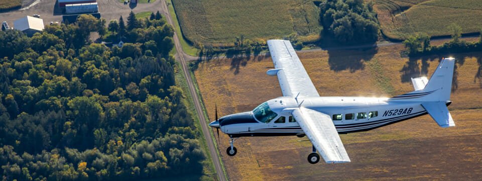
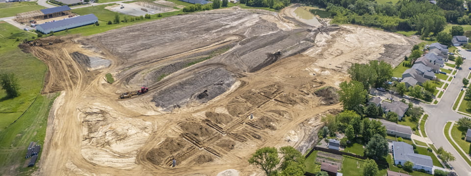
Widseth’s subsidiary, 95West Aerial Mapping, LLC, has the ability to simultaneously collect precise lidar data and high-resolution imagery for your utility project. If you are evaluating current infrastructure, planning for new development, or keeping track of highly-loaded lines during winter or summer peaks, our team can help. We can collect up to 60 ppm and better than 3cm GSD imagery in a single pass. Once the data has been collected and processed, Widseth’s team of transmission & distribution engineers will work with you to design the right solution for your needs.
Evaluate current infrastructure
- Keep an eye on aging infrastructure with our accurate, four-band imagery.
- Make an informed decision to reroute existing lines if necessary.
- Analyze assets on public and private lands, canopy volumes, and tree heights.
Plan for new development
- Fast-track your project with our simultaneous collection system. We’ll acquire a wide swath of your corridor for lidar and imagery in one mobilization.
- Utilize impervious surface mapping, land use or land cover mapping, and change detection to develop long-range plans.
Track highly-loaded lines
- Analyze conductors, poles, guy wires, insulators, and shield wires with high-density lidar captured with our Riegl 1560 II-S scanner.
- Arrange a thermal evaluation from one of Widseth’s engineers to help you find and resolve vegetation issues, determine clearance violations, and even discover lines that can be uprated with no additional work!


