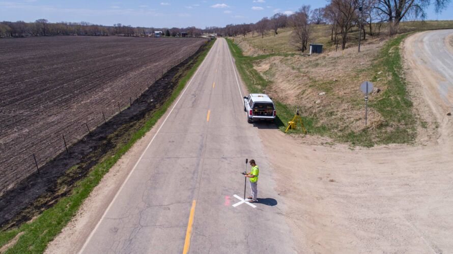
Land Surveying
From boundary surveys to hydrographic mapping, we provide precise land surveying solutions tailored to your project needs. We assess your land surveying requirements to deliver accurate and efficient results.
Property & Boundary Surveys
Accurate surveys and legal descriptions ensure clients have clear property ownership, assist with disputes, and streamline real estate transactions by meeting regulatory and title requirements. Our services include:
- ALTA/NSPS land title survey
- Boundary survey
- Cemetery survey
- FEMA flood survey
- GIS survey
- Legal descriptions
- NRCS survey
- Resort survey
- Topographic survey
- Variance survey

Development Survey
Surveys tailored to platting, right-of-way dedication, residential subdivisions, and commercial site development. Our data supports efficient planning, smooth permitting, and precise construction—from concept to completion.

Construction Staking
We provide precise construction staking to ensure accuracy, efficiency, and compliance throughout the building process, supporting better project outcomes and helping minimize the potential for setbacks.

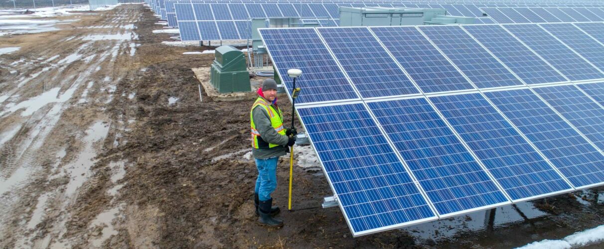
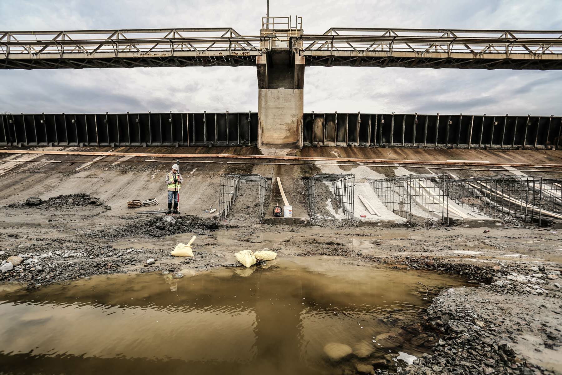
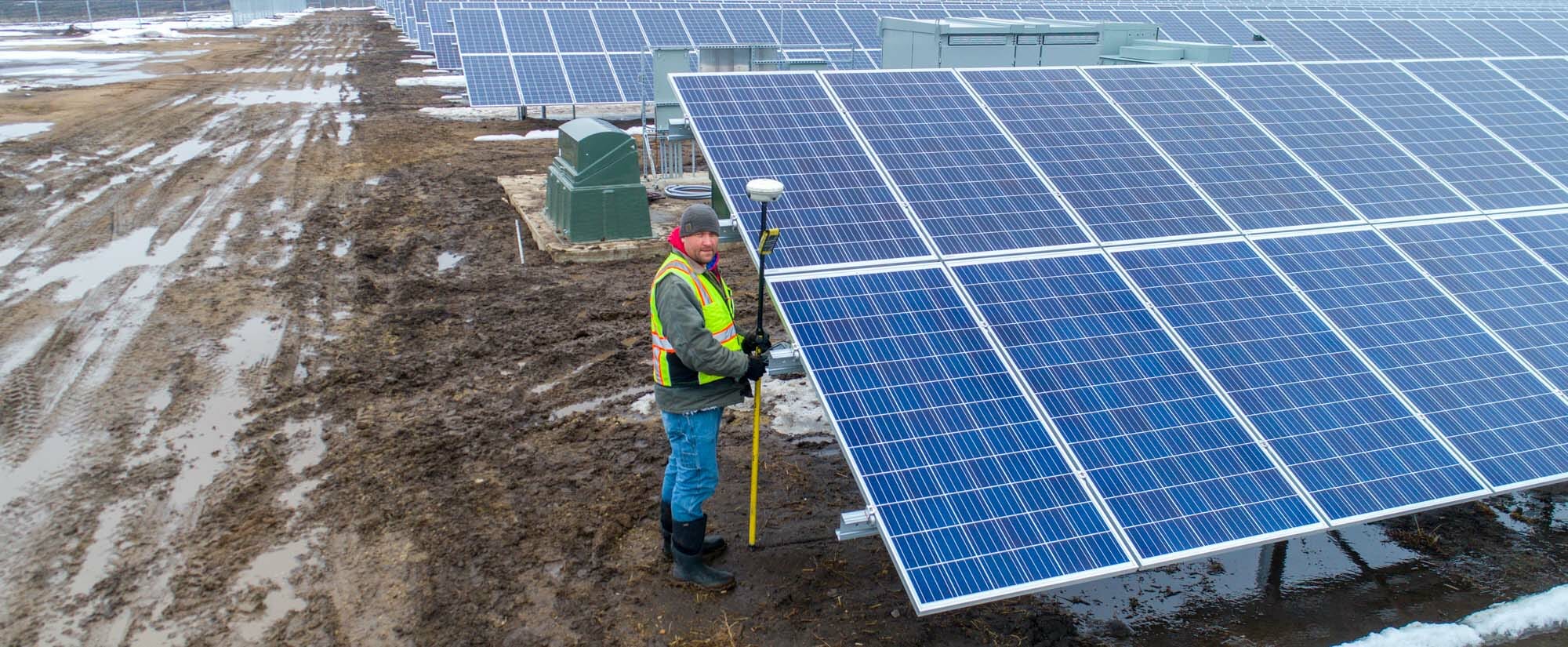
Specialized Survey Services
Our team delivers precise data, legal support, and compliance solutions for complex projects. We ensure accurate mapping, regulatory compliance, and dependable representation to protect client interests and ensure success.
 edit")
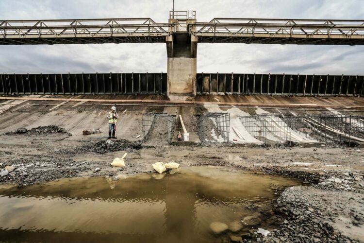
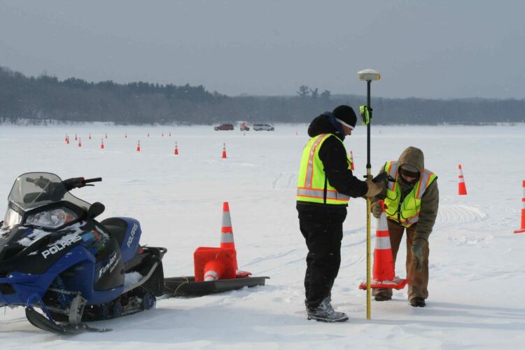
Hydrographic Surveying
Widseth provides essential data for flood management, water planning, and compliance. Our surveys help reduce risks, support sustainability, and meet regulations. Read our blog post about Widseth’s hydrographic surveyors in action!
edit")
Scanning Services
We deliver high-precision 3D scanning for interior and exterior spaces—empowering property owners, industrial developers, and construction teams with detailed spatial data needed for space planning, design, and construction. Check out our scanning team in this video!
 edit")
Telecommunication Survey
We provide telecommunication surveys that support wireless infrastructure planning, tower installations, and construction. Our surveys deliver the accurate geospatial data to optimize coverage, minimize permitting delays, and ensure regulatory compliance.

When we work together it feels like I’m working with a coworker. Widseth is very professional, responsive, quick to get back to you, and they do an excellent job.
Our Process
01
Listen & Plan
We start by listening to what you need. Then, we come up with a plan to get your job done.
02
Collect Data
Next, our team mobilizes and performs the necessary survey work.
03
Deliver Final Survey
Deliver a polished Certificate of Survey with all necessary information included.
