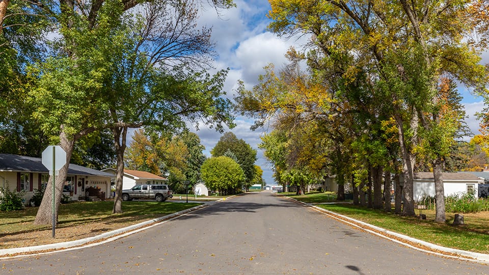
The Emerald Ash Borer (EAB) is an invasive species spreading quickly throughout the United States. These insects feast on ash trees, killing them from within. Minnesota has one of the largest ash populations in the country with close to one billion ash trees in cities and forests. Losing these ash trees will have ecological consequences in our communities and could cost cities tens of thousands of dollars to deal with them. Chemical treatments may save some trees, but many will be lost and need to be removed. Being proactive and aware of what you have in your community is essential. Are you looking for an easier way to track the spread of EAB in your community and be prepared to handle it…both economically and efficiently? Widseth’s GIS team can help!
Our GIS team can assist in managing your community’s ash tree population with easy-to-use acquisition tools, detailed maps of ash tree locations, and informative dashboards for tracking the spreading infestations of EAB and identifying high-risk areas. These customized solutions will help your local government officials visualize, plan, and allocate the necessary resources to battle EAB.
Managing Emerald Ash Borer Infestations – 3 Key Benefits of Using GIS
- Tree Inventory and Condition Tracking
GIS efficiently maps where EAB infestations are present, narrowing down specific locations of infested trees and trouble locations. It also allows for tracking of efforts taken, funds spent, and expected costs. - Early Infestation Detection
GIS can display patterns and neighborhoods that may be vulnerable to EAB allowing for early insecticide treatments and courses of action. - Public Engagement and Awareness
Through the creation of visual dashboards, GIS teams can help your community understand the severity and steps needed to control the spread of EAB.
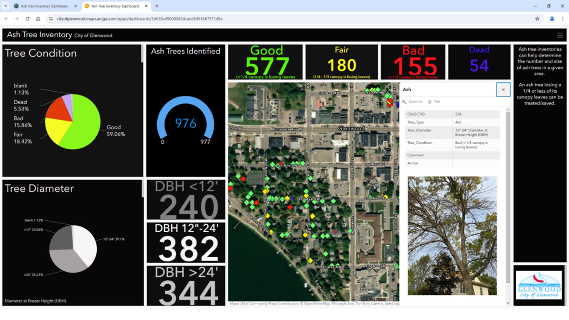
Dashboard image mapping the health of Glenwood’s ash trees.
Real World Application: Ash Tree Inventory – City of Glenwood
The city administrator in Glenwood, MN contacted us to help develop a solution for their EAB problem. With almost 1,000 ash trees, collecting an inventory of each tree’s condition and location was a large task. We proposed field staff to collect the GPS location of each ash tree, tree size, tree condition, and relevant photos on a mobile app tied to their existing GIS. We proposed a user-friendly dashboard that would pull data directly in for easy administration of the project by office staff and to keep city council and community members up to date.
Using this dashboard, the city was able to decide which trees to remove and which to treat with insecticide. This tool will be valuable for years to come, easily documenting the spread and severity of EAB in Glenwood and allows the city to be financially prepared for what is to come.
If your community needs help, contact Widseth’s Mark Reineke today!
Reference Article: Emerald ash borer in Minnesota | UMN Extension


