GIS


Mark Reineke, CMS, GISP, has been elected as an At-Large Representative of the MN GIS/LIS Consortium Board of Directors. Mark…
_960x360.jpg)
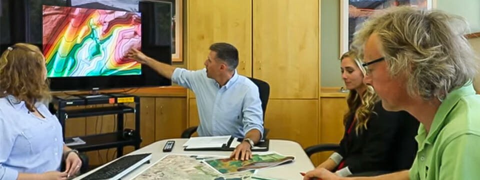
Pavement Management Systems (PMS) play a significant role in effectively managing and maintaining one of a city’s or township’s most…
The members of the Minnesota Geospatial Advisory Council’s 3D Geomatics Committee (3DGeo) Data Acquisition Workgroup, which includes Widseth’s Mark Reineke,…

Katelyn Kack has been a GIS Specialist in Widseth’s Alexandria office for five years. When this mapping expert is not…
“You can’t use an old map to explore a new world.” – attributed to Albert Einstein

Knowing where things like street signs, utilities, water systems, ADA ramps, fire hydrants, and even roads are’and what condition they’re…

Your city has thousands of assets – roads, storm sewers, manhole covers, park benches, and much more. Keeping track of…